DEVSS finds home at the University of Palermo
Friday, 14 March 2025
3D Research Delivers New DEVSS Marine Drone to National Biodiversity Future Center at the University of Palermo.
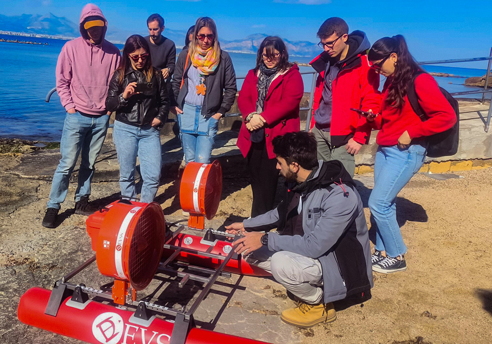
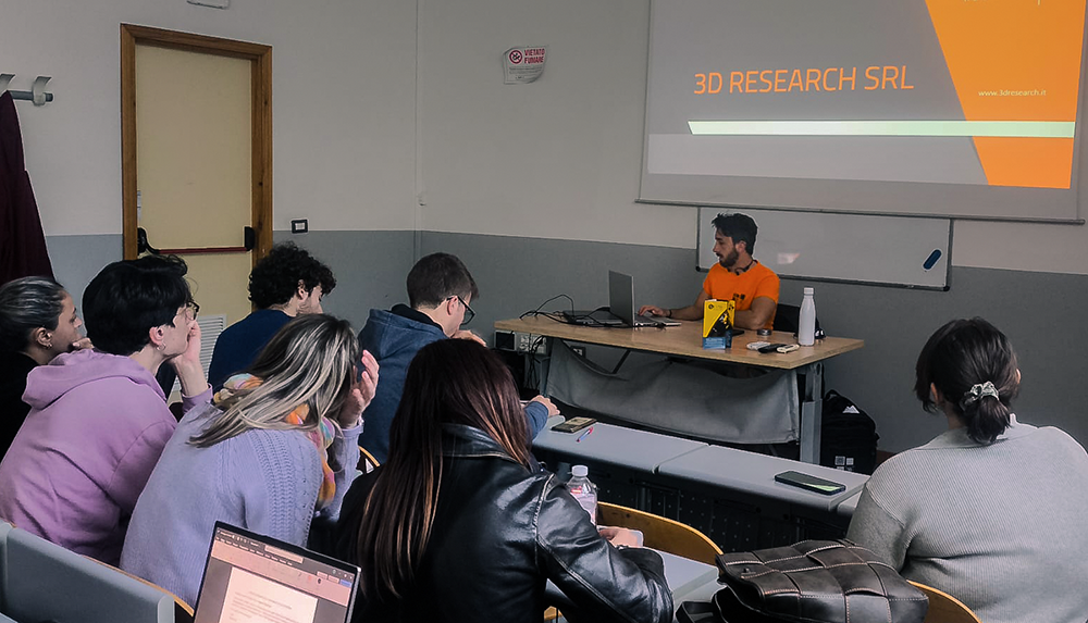
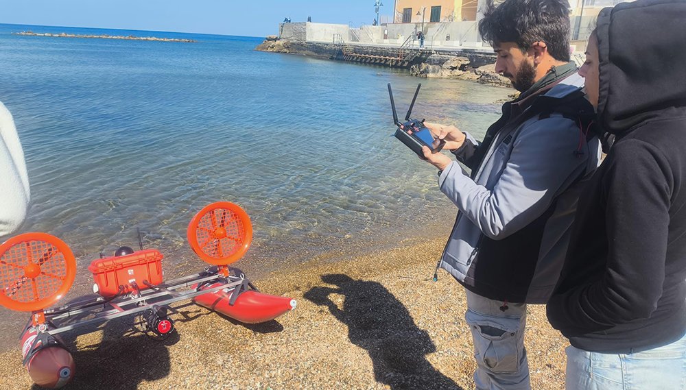
With its extensive expertise in technological and engineering research, 3D Research, a spin-off company of University of Calabria led by Prof. Fabio Bruno, continues to support the protection and enhancement of underwater heritage through innovative solutions. In early March, the 3D Research team was in Palermo (Italy) to assist with the testing and training activities for an advanced Autonomous Surface Vehicle (ASV) delivered to the National Biodiversity Future Center at the University of Palermo (NBCF-UNIPA).
Developed entirely by 3D Research, this ASV will be employed for marine ecosystem monitoring, enabling high-precision 3D surveys with reduced operational costs and minimal environmental impact.
DEVSS: A Fully Autonomous Marine Drone
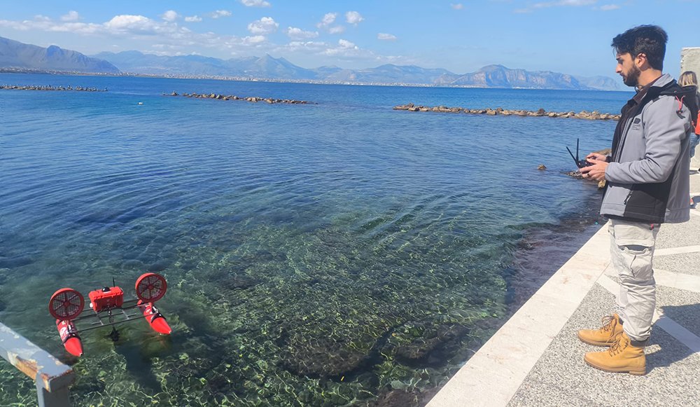
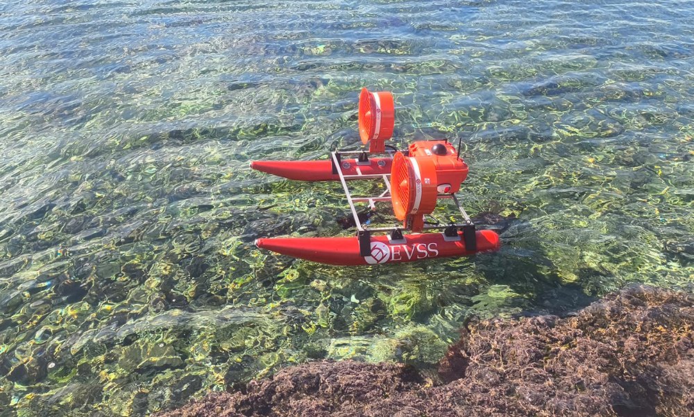
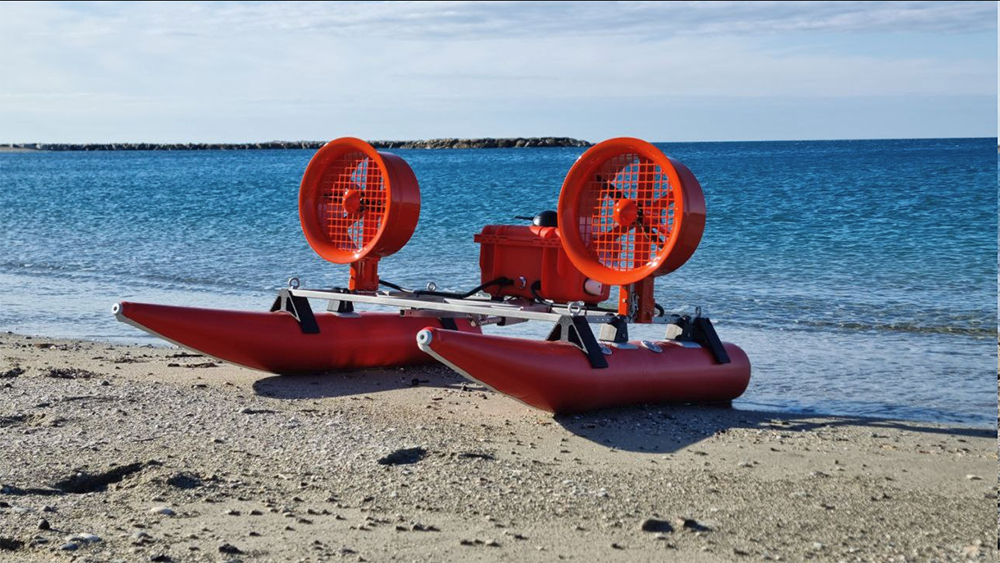
The 3D Research ASV, named DEVSS, allows for pre-planned missions and fully autonomous navigation, ensuring operational efficiency while minimizing human intervention. The provided configuration includes inflatable hulls for easy transport and rapid deployment, as well as aerial propellers that facilitate navigation in areas with emerging obstacles. Additionally, the vehicle features an adaptive ballast control system, which evenly distributes weight across the hulls based on the installed equipment, optimizing stability and performance for each mission.
Modular and Versatile for Various Missions
Thanks to its modularity, DEVSS can be equipped with different sensors according to specific operational requirements. This flexibility makes it a versatile platform suitable for a wide range of missions, including water quality analysis and bathymetric surveys for seabed mapping.
The supplied vehicle is equipped with a remotely operated underwater camera and a single-beam SONAR, enabling the acquisition of bathymetric data and the generation of 3D seabed models with an accuracy comparable to aerial drones used in terrestrial photogrammetry. The GNSS positioning system ensures precise scaling and georeferencing of models for scientific and environmental monitoring.
Supporting Cutting-Edge Research at NBCF-UNIPA
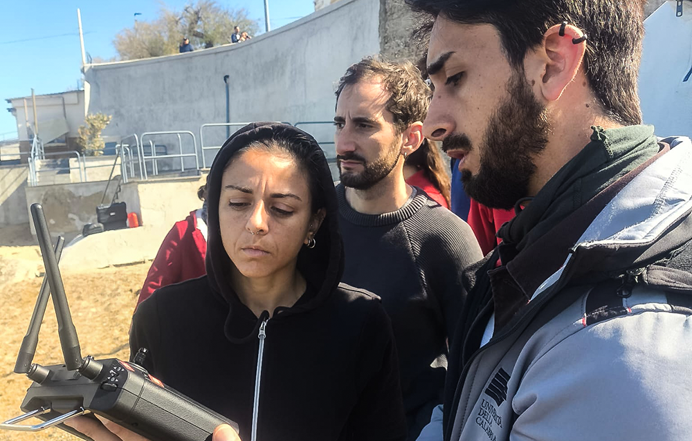
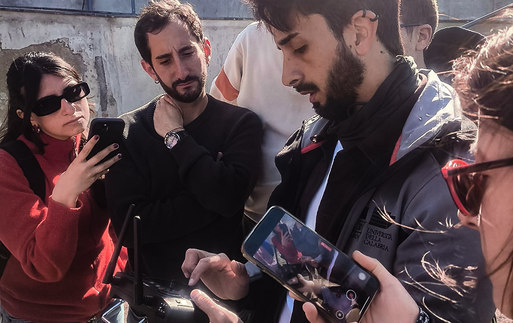
With this technology, NBCF-UNIPA will increase its marine ecosystem research capabilities using a state-of-the-art tool. The testing and training operations took place at the Aspra (PA, Italy) marina and involved Professors Salvatrice Vizzini and Agostino Tomasello from the Department of Earth and Marine Sciences (DiSTeM) and the 3D Research Testing & Survey Team. Their work, as part of SPOKE 1 of the NBCF, focuses on ultra-high-resolution habitat mapping. Together with colleagues, collaborators, and students, they tested the vehicle, assessing its potential and operational applications.
A Proven Track Record in Marine Research
This vehicle joins a fleet of DEVSS units previously employed by ISPRA (Italian Institute for Environmental Protection and Research) in the Seaforest LIFE project and by 3D Research in morphological and bathymetric surveys on archaeological sites and environmental studies. Past applications include the Marine Protected Areas of Capo Rizzuto (Calabria, Italy) and Capo Testa - Punta Falcone (Sardinia, Italy), as well as demonstration campaigns within the uBlueTec project in Aegina (Greece).
The DEVSS vehicle continues to evolve through ongoing collaborations with the University of Calabria and research activities within the Tech4You Innovation Ecosystem, ensuring continuous advancements in marine robotic technologies.
Tags
SEE ALSO


iMareCULTURE and MUSAS at BMTA 2017
Thursday, 02 November 2017
ARE YOU A DEVELOPER LOOKING FOR A JOB?
Friday, 03 November 2017
Ascea opens the gates of the "City of Wellness"
Wednesday, 17 January 2018SEE ALSO

Comunicazione su e-commerce TRUFFA
Friday, 14 May 2021